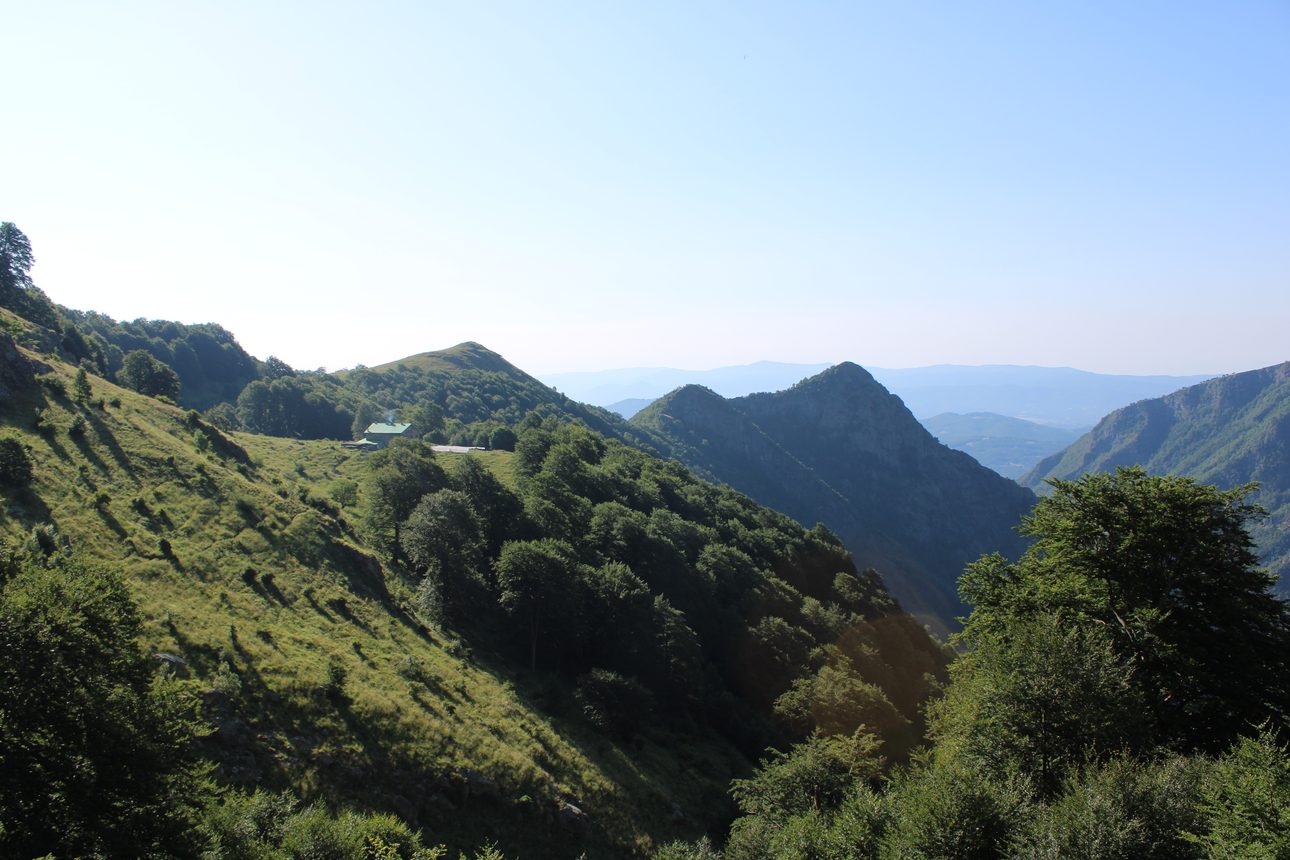
In these lines we will tell you about our Stara Planina adventure from Dobrila to Botev. That is, of course, a difficult task, so we suggest you live it with us at the first opportunity.
We had been planning it for a long time, and at the end of July we packed our rucksacks and found ourselves at Sofia railway station with tickets for Karlovo. The romance of the Bulgarian railways and a few hours of conversation in pleasant company carried us to our final stop before we knew it. A quick coffee and juice, and the Balkan range calling to us from across the street. Without much deliberation we headed for the Sopot chairlift, where our adventure began. After about two hours of forest paths and beautiful views we reached the cosy Dobrila hut, which we had already visited in winter. That is where the idea of the alpine traverse was born.
Sunrise on Ambaritsa
We settled in for the night and went down for a quiet dinner, over which to draw up the plan for the next day. Since we are not the kind of people who like things easy, we decided to make the trek harder, and much of it was still unknown. The only certain part of the task was our approach to the ridge. Five in the morning, rucksacks packed to the brim, headlamps lit, poles at the ready and a good dose of motivation for the climb.
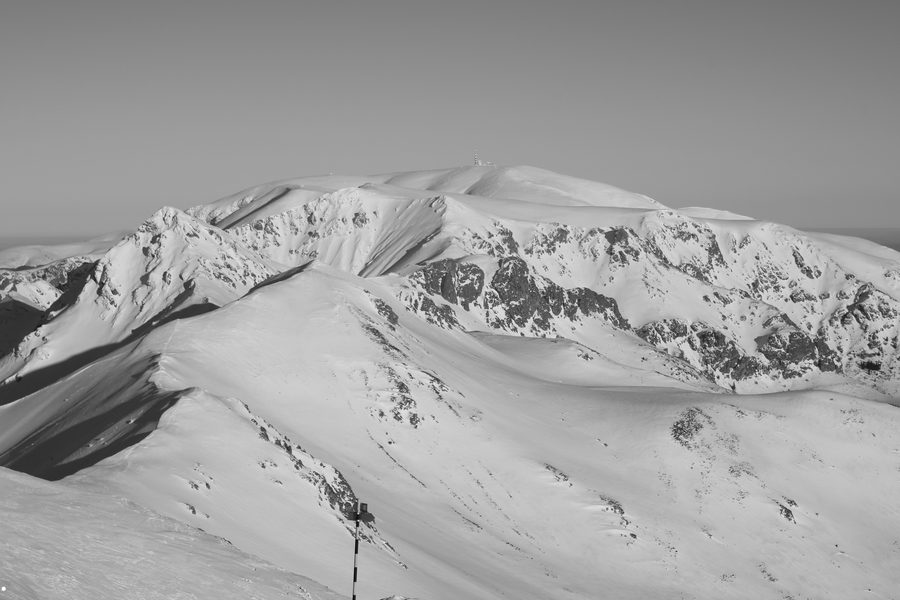
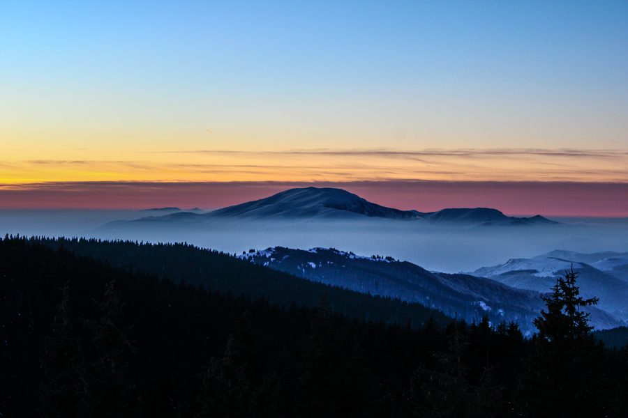
And so at first light, with fresh strength and high spirits, we met the sunrise on Ambaritsa peak (2166 m). Panoramic views awaited us in every direction. We stood on the boundary between North and South with nothing to block the eye. To the west it travels easily to Vezhen peak (2198 m), while to the east Botev peak (2376 m) hides the rest of the ridge. Beauty for the senses, urging us boldly onwards.
The Kupena peaks and Krasttsite
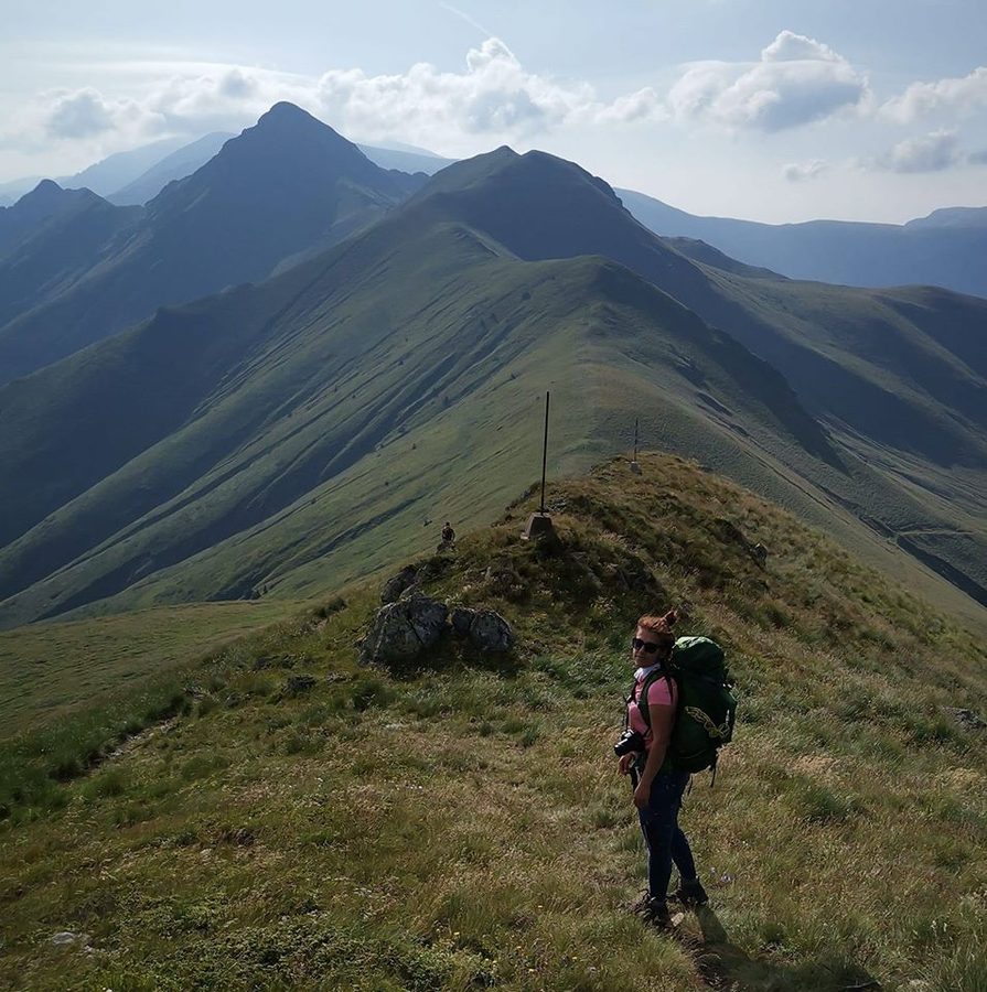
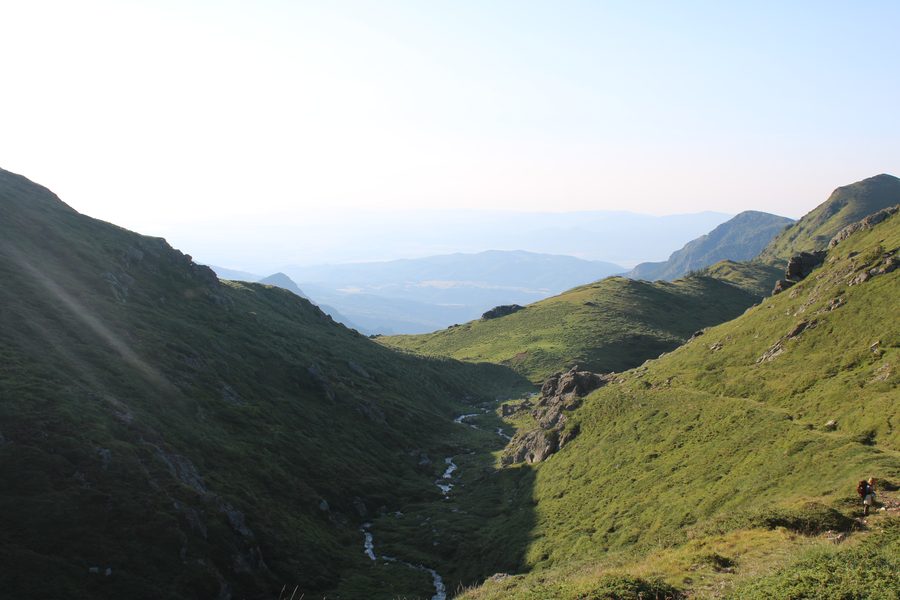
We descended eagerly towards Malkiya Kupen (2100 m), shifting our heavy rucksacks. The path wound along steep slopes, the ravines visible some 300 metres below. We could not help stopping for photographs. Across from us, Kupena (2169 m) looked imposing, and you wonder where among those crags the path could possibly pass. Reaching it, we found there is one tricky section of about ten metres, but a fixed rope runs along it. A rock chute and some proper scrambling, especially with twenty kilograms on your back.
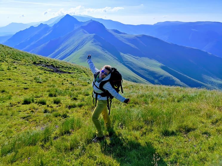
At last we were on the summit. We signed the summit book and set off downwards. There are two dangerous sections there, but again with ropes. Kupena was behind us and we entered Krasttsite (2035 m), a series of rocky sentinels that take some getting past. Here we advise going without heavy rucksacks or anything sticking out of them, as the lightest gust of wind can throw you off balance. At the end of Krasttsite we came out onto the crest of the ridge and, with plenty of clambering, climbed Kostenurkata (2034 m). From there on it was easy: Zhaltets peak (2226 m) came next. Looking back, we understood where Kostenurkata, the Tortoise, gets its name: a curious rock formation leaning southwards, resembling an enormous tortoise.
The storm
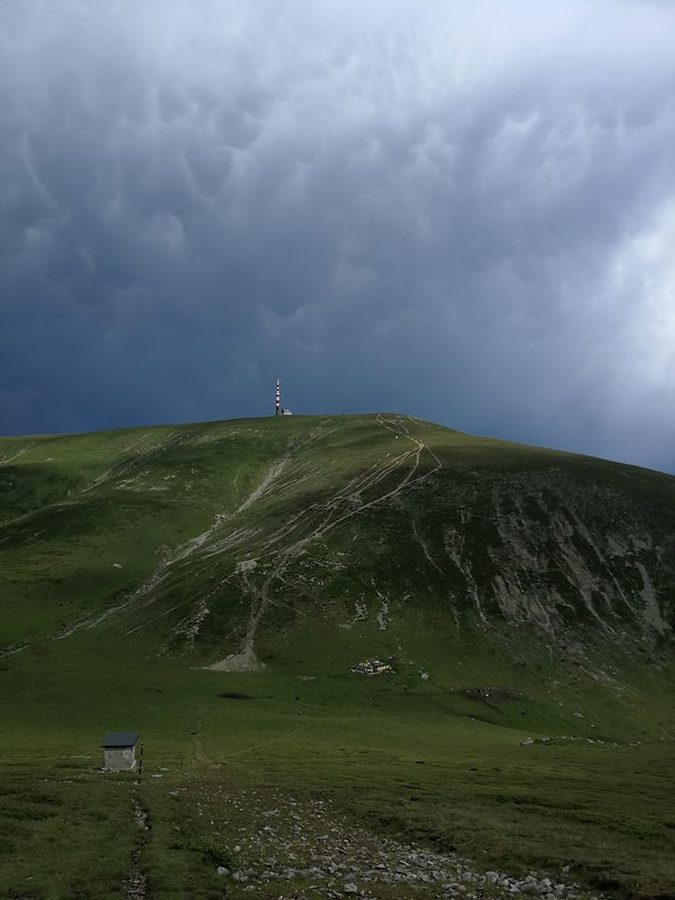
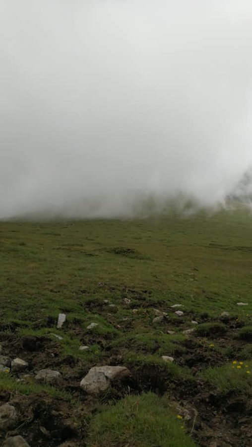
From here everything looked easy, and the plan was to spend the night at the Ray hut, but the Balkan showed once again how unpredictable it is. About 40 minutes from the Botev shelter the weather changed abruptly. A thick, impenetrable fog fell, a strong wind picked up, followed by heavy rain and a thunderstorm.
We quickly put on our raincoats, set aside everything metal, switched off our phones and waited for the storm to ease before continuing. The plan changed sharply: we decided to reach the Botev shelter as fast as possible and stay there for the night. Our stay at the shelter was remarkably eventful. On arriving, we discovered we had lost our GPS along the way. Waiting for the storm to pass, we met many mountaineers in search of the beauty of the Balkan. Our evening passed in stories, legends and tales.
Through Dzhendema to Rayskoto Praskalo
The night went by unnoticed, and early in the morning we shouldered our rucksacks and used the good weather to head for the summit, the highest in Stara Planina: Botev (2376 m). The climb, the descent and our time on top took about two hours. From there we chose to go not by the well-known Tarzan path but through the Dzhendema reserve. "Dzhendem" means hell in Turkish. The high, inaccessible cliffs, steep ravines, dark centuries-old forests and unpredictably harsh weather all contributed to the name. But what is hell for people has become a paradise for wild animals. The reserve is home to large mammals such as the wolf, the chamois and the red deer, as well as the emblem of the Central Balkan national park: the bear. Dzhendema preserves ancient beech forests, most of them untouched by human hand. Its stark beauty remains largely inaccessible to this day: the steep precipices and dense vegetation guard the mountain's secrets well.
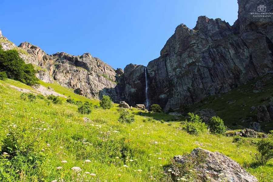
And so, after about six hours, we reached the highest waterfall in Bulgaria, Rayskoto Praskalo: 124 metres. It is formed by the waters of the Praskalska river, fed by the permanent snowfield below Botev peak, which never fully melts even in summer. After flowing down the gentle grassy slope, the stream reaches the upper edge of a belt of sheer cliffs known as the Rayski rocks, and makes its great leap.
Having admired the waterfall, we descended to the Ray hut, where we took a short break for lunch. Recharged, we set off towards the end of our adventure, the Panitsite area near Kalofer. It took us about four hours with rests and photographs. There was no transport from there to the station, but we managed to find some: by hitchhiking.
This adventure had a bit of everything: boundless views, adrenaline, new friends and a great deal of laughter.